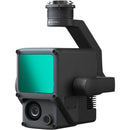
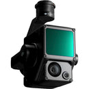
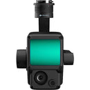
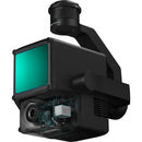
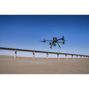
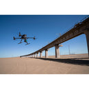
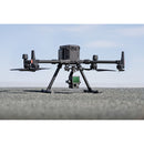
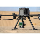
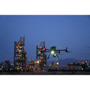
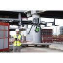
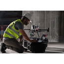
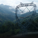
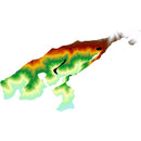
Extremely accurate ground and structure measurement is possible when adding the DJI Zenmuse L1 Lidar & RGB Gimbal Camera with Care Enterprise Basic for Matrice 300 RTK to your Matrice 300 RTK drone. The 3-axis stabilized gimbal houses a payload that combined a Livox Lidar module for precision laser measurement, a highly-accurate IMU for positional accuracy, and a 20MP RGB camera for full-color reference footage. The mapping accuracy the L1 provides has applications for a variety of professions, from surveying to law enforcement. The entire gimbal is IP54-rated so you can perform missions easily in rainy or foggy weather conditions.
- Mapping & Surveying: Create topographic mapping and point clouds with accuracy down to 2" vertically and 4" horizontally
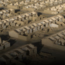
- Energy & Infrastructure: In applications such as DJI Terra, you can use the L1 to measure remote and/or complex structures and create 3D models
- Emergency & Policing: Getting real-time true-color point clouds lets first responders quickly understand their surroundings, providing them with situational awareness and forensic intelligence in order to make fast and informed decisions
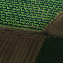
- Agriculture & Forestry: Get a bird's eye view of crops and nature to view vegetation density, area, stock volume, canopy width, and growth trends
- Cover approximately two square kilometers of area per flight
- Non-repetitive and repetitive Lidar scanning patterns
- Mechanical shutter on RGB camera
Items Included
- DJI Zenmuse L1 Lidar & RGB Gimbal Camera
DJI Zenmuse L1 Specs
| Compatibility | |
| System | |
| Camera Type | |
| Camera Type | |
| Camera Type |
| Data Storage |
| Mobile App Compatible | |
| Global Positioning (GPS, GLONASS, etc.) |
| Power Source | |
| Power Consumption |
| Environmental Protection | |
| Operating Temperature | |
| Storage Temperature |
| Color | |
| Cable Length |
Designed for use with:
-
All Drones
- DJI Matrice 300
-
Other
- DJI MATRICE 300 RTK


